
Innovation Engineered.®
Innovation Engineered.®Pioneering innovative coastal and river engineering solutions, one shoreline at a time.
Climate Change Engineered.®
Climate Change Engineered.®A science-based engineering approach to climate change risk assessment, adaptation and mitigation for future resilience.
Introduction to Baird
Introduction to BairdWith over 40 years of engineering experience, we design creative solutions and deliver proven results: where water meets land.
Our combined expertise and time-tested methodologies have been sought around the globe, by some of the world’s most prominent companies for some of the most challenging projects.
- From planning to science, and design to construction, Baird connects people to the environment and clients to solutions.
- Ports, Terminals & Vessel Operations
- Coastal & Marine Structures
- Waterfronts, Marinas & Resorts
- Coastal & River Environmental
- Shoreline & Coastal Restoration
- Hazards, Risk & Resilience
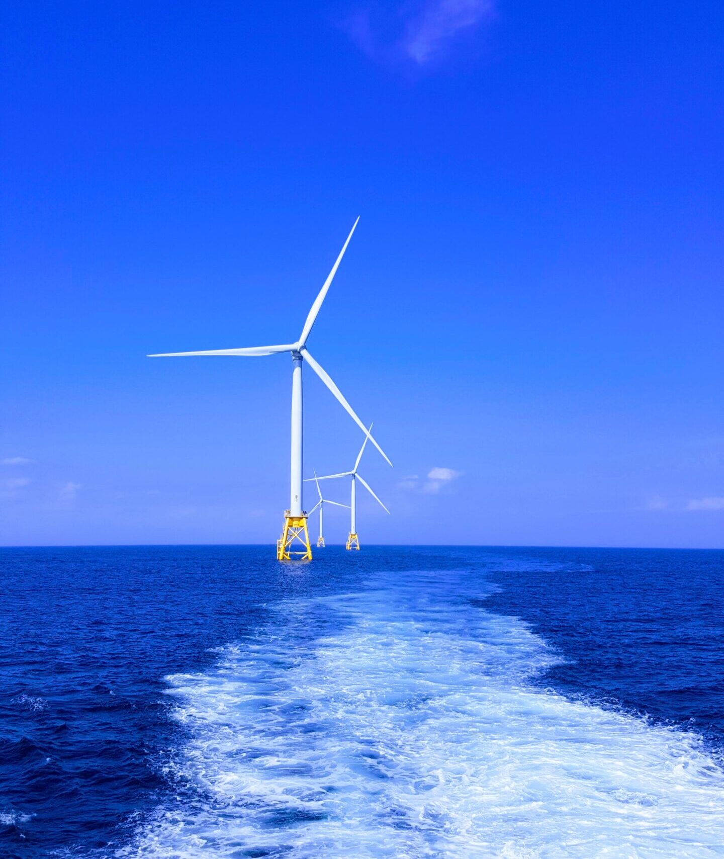
- Metocean Studies & Offshore Renewable Energy
News & Events
-
 Welcoming Chris Thomas to Baird & AssociatesMay 13, 2024Please join us in welcoming Chris Thomas as a new employee of Baird & Associates.Read More
 -
 Canadian Offshore Wind and Marine Renewable ServicesDecember 1, 2023Please see attached our OSW Services flat sheet.Read More
 -
Fixed and Floating Offshore Wind ServicesNovember 22, 2022Please see attached our OSW Services flat sheetRead More
News & Events
Explore Our Case Studies
See what we can do for you.
Ashbridges Bay Treatment Plant Outfall
Toronto, Ontario, Canada
Baird was retained to undertake a receiving water impact assessment for the Ashbridges Bay wastewater treatment plant, with has a rated average flow of 818 MLD and a peak flow of 3923 MLD. The selected outfall design extends 3500m offshore with a 1000m long diffuser.
National Coastal Risk Information and Planning Platform (NCRIPP)
Barbados
The NCRIPP study assessed hazards, vulnerability and risk for a series of natural and anthropogenic hazards in Barbados. The final products include a Coastal Risk Atlas and an enterprise-level GIS and coastal GeoDatabase.
International Expertise
Announcements
Announcements