
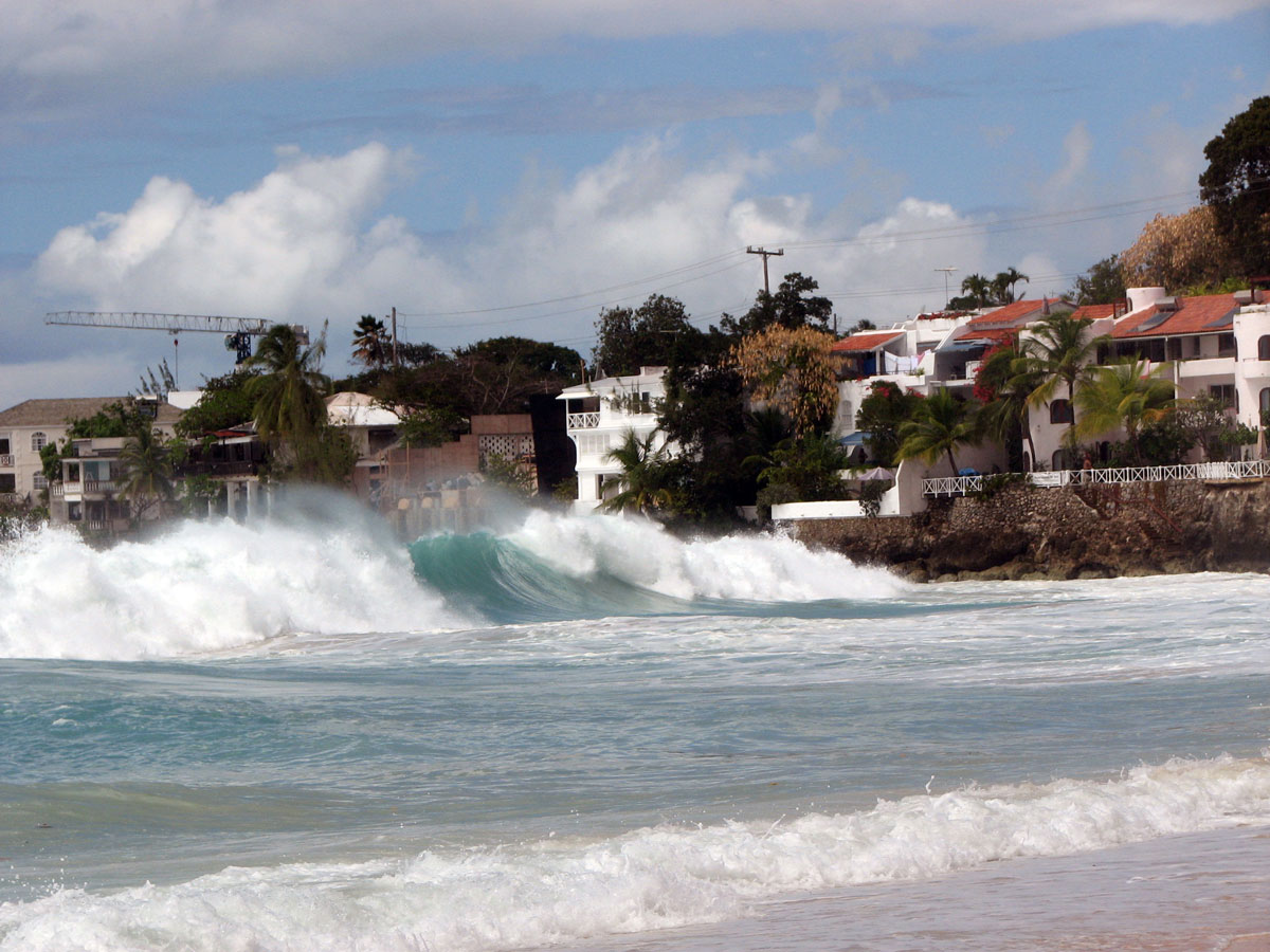
Coastal Flood Studies
Coastal zones encompass diverse elements, including shorelines, waterfront development, environmentally sensitive habitats, cities, marine sanctuaries, public and private infrastructure, and industry.
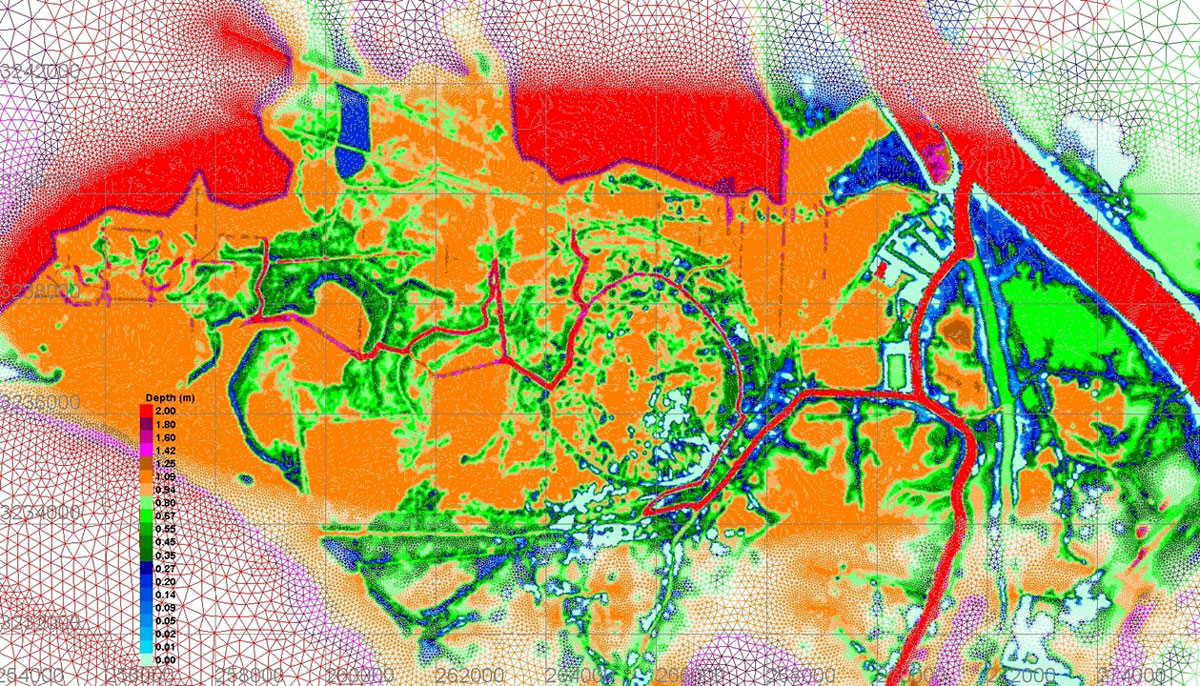
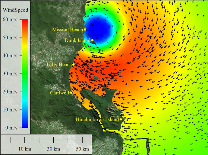
To address the demands on coastal zones, and to protect them from risks, an integrated approach to flood prediction, risk and resilience is needed. A successful methodology must be founded on a full understanding of the natural processes underlying the dynamics of the coastal zone. This includes metocean analysis, storm hazard, surge and tide modelling, and wave runup prediction. These approaches have supported our advice to several local and state governments, as well as national organizations such as the US Army Corps of Engineers, the Government of Canada and other international authorities.
Erosion Studies
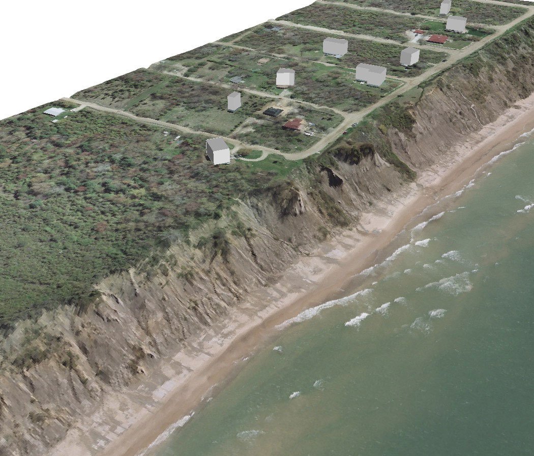
The investigation of coastal erosion is a critical component to many of Baird’s studies. Our approach investigates the historical and contemporary evolution of shorelines and their associated landforms, with particular attention to physical processes. On rivers, one, two and three-dimensional models of sand transport, bank erosion and bed change are applied to support geomorphic analysis. In estuaries and inlets 2- and 3-dimensional models are used to assess the role of tides, river flows and waves in moving sediments and shaping shoals and coastlines. On open coasts one and two-dimensional models are applied to simulate the erosion of beaches and dunes and bluff/cliff environments.
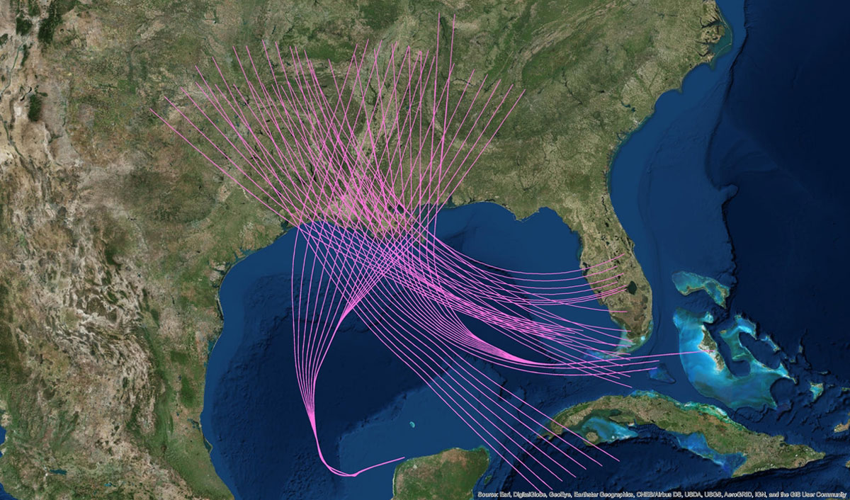
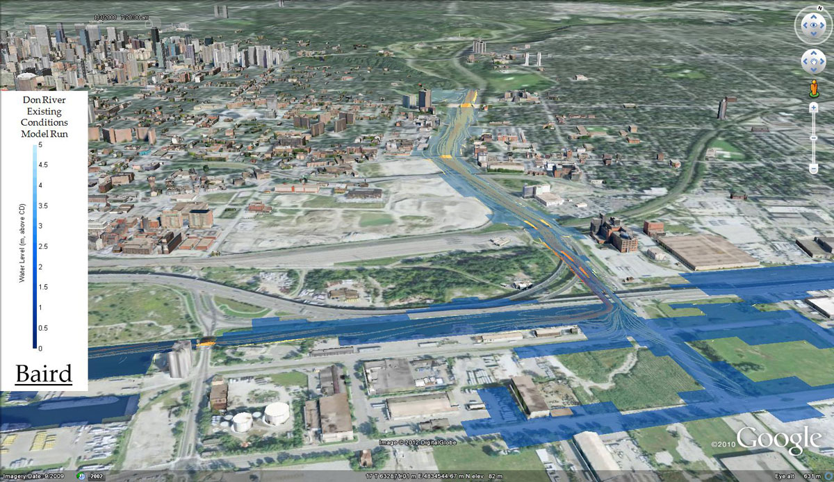
Risk Analysis
Baird’s expertise in statistical methods and numerical modelling is applied to risk analysis of flood-generating storms. From a 10,000-year synthetic tropical cyclone dataset to risk aggregation of regulation plans on the Great Lakes, Baird’s risk analyses help inform decision making with science-backed methods. Our state-of-the art visualization tools take things one step further – visualizing risk for end users in clear and concise ways.